GIS Courses
GIS courses can help you learn spatial analysis, cartography, remote sensing, and data visualization techniques. You can build skills in geographic data management, interpreting satellite imagery, and creating interactive maps. Many courses introduce tools like ArcGIS and QGIS, that support analyzing geographic information and presenting findings effectively. You’ll also explore applications in urban planning, environmental monitoring, and disaster management, allowing you to apply your knowledge in various practical contexts.
Popular GIS Courses and Certifications
 Status: Free Trial
Skills you'll gain: Generative Engine Optimization (GEO), Content Optimization, Digital Media Strategy, Data-Driven Marketing, Marketing Analytics, Automation, Language Interpretation, Translation, and Studies
 Status: Free Trial
L&T EduTech
Skills you'll gain: Construction Engineering, Geospatial Mapping, Geospatial Information and Technology, Geographic Information Systems, Spatial Data Analysis, Construction, Construction Management, Visualization (Computer Graphics), Civil and Architectural Engineering, Spatial Analysis, Global Positioning Systems, GIS Software, Survey Creation, Engineering, Scientific, and Technical Instruments, 3D Modeling
 Status: Free Trial
Skills you'll gain: Generative Engine Optimization (GEO), Content Performance Analysis, Content Optimization, Generative AI, AI Workflows, Search Engine Optimization, Content Creation, Content Strategy, Public Relations, ChatGPT, No-Code Development
 Status: NewStatus: Free Trial
Coursera
Skills you'll gain: Spatial Data Analysis, GIS Software, Geographic Information Systems, Spatial Analysis, Query Languages, SQL, Geospatial Information and Technology, PostgreSQL, Database Development, Performance Tuning
 Status: Free Trial
University of Colorado Boulder
Skills you'll gain: Graphic Design, Graphic and Visual Design, Graphic and Visual Design Software, Design, Visual Design, Layout Design, Graphical Tools, Graphics Software, Creative Design, Typography, Design Software, Design Reviews, Adobe Creative Cloud, Adobe Photoshop, Design Elements And Principles, Design Strategies, Color Theory, Editing
 Status: Free Trial
Universidad de los Andes
Skills you'll gain: Spatial Analysis, NoSQL, Spatial Data Analysis, Geospatial Mapping, Geographic Information Systems, Public Cloud, Geospatial Information and Technology, Big Data, MongoDB, GIS Software, Data Infrastructure, Apache Hadoop, Apache Spark, Distributed Computing, Data Architecture, Cloud Computing Architecture, Cloud Platforms, Database Systems, Scalability, Databases
 Status: NewStatus: Free Trial
Coursera
Skills you'll gain: Leaflet (Software), Dashboard Creation, Geospatial Information and Technology, Global Positioning Systems, Geospatial Mapping, Internet Of Things, Systems Integration, Frontend Performance, Network Troubleshooting
 Status: New
Universitat Politècnica de València
Skills you'll gain: Business Systems, Business Technologies, Enterprise Resource Planning, Excel Formulas, Supply Chain Systems, Enterprise Application Management, Supply Chain Management, Geospatial Information and Technology, Management Information Systems, Geographic Information Systems, Web Development, GIS Software, Web Presence, Web Applications, Customer Relationship Management
 Status: Free Trial
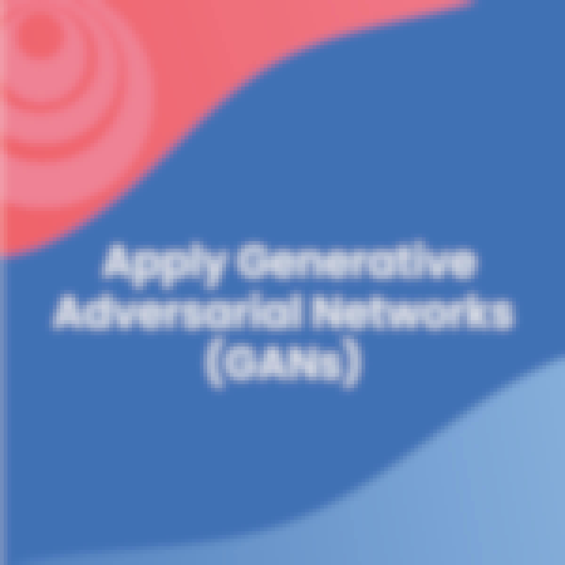
DeepLearning.AI
Skills you'll gain: Generative Adversarial Networks (GANs), Generative AI, PyTorch (Machine Learning Library), Generative Model Architectures, Image Analysis, Convolutional Neural Networks, Responsible AI, Data Ethics, Model Training, Information Privacy, Data Synthesis
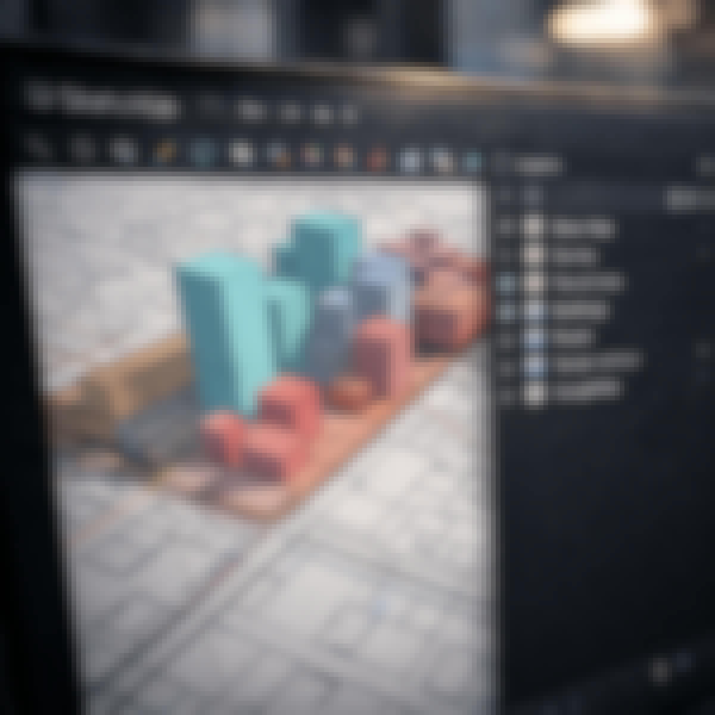 Status: NewStatus: Free Trial
Skills you'll gain: SketchUp (3D Modeling Software), Spatial Data Analysis, Architectural Drawing, Geospatial Mapping, Spatial Analysis, AutoCAD, Visualization (Computer Graphics), Data Mapping, Graphic and Visual Design, 3D Modeling, Technical Communication, Color Theory, Microsoft Office
 Status: NewStatus: Free Trial
Coursera
Skills you'll gain: Spatial Data Analysis, Spatial Analysis, Geographic Information Systems, Geospatial Information and Technology, Geospatial Mapping, Statistical Methods, Data Analysis, Statistical Analysis, Correlation Analysis, Technical Communication
 Status: NewStatus: Free Trial
Coursera
Skills you'll gain: Geographic Information Systems, GIS Software, Geospatial Information and Technology, Spatial Data Analysis, Spatial Analysis, Geospatial Mapping, Data Structures


