Remote Sensing Courses
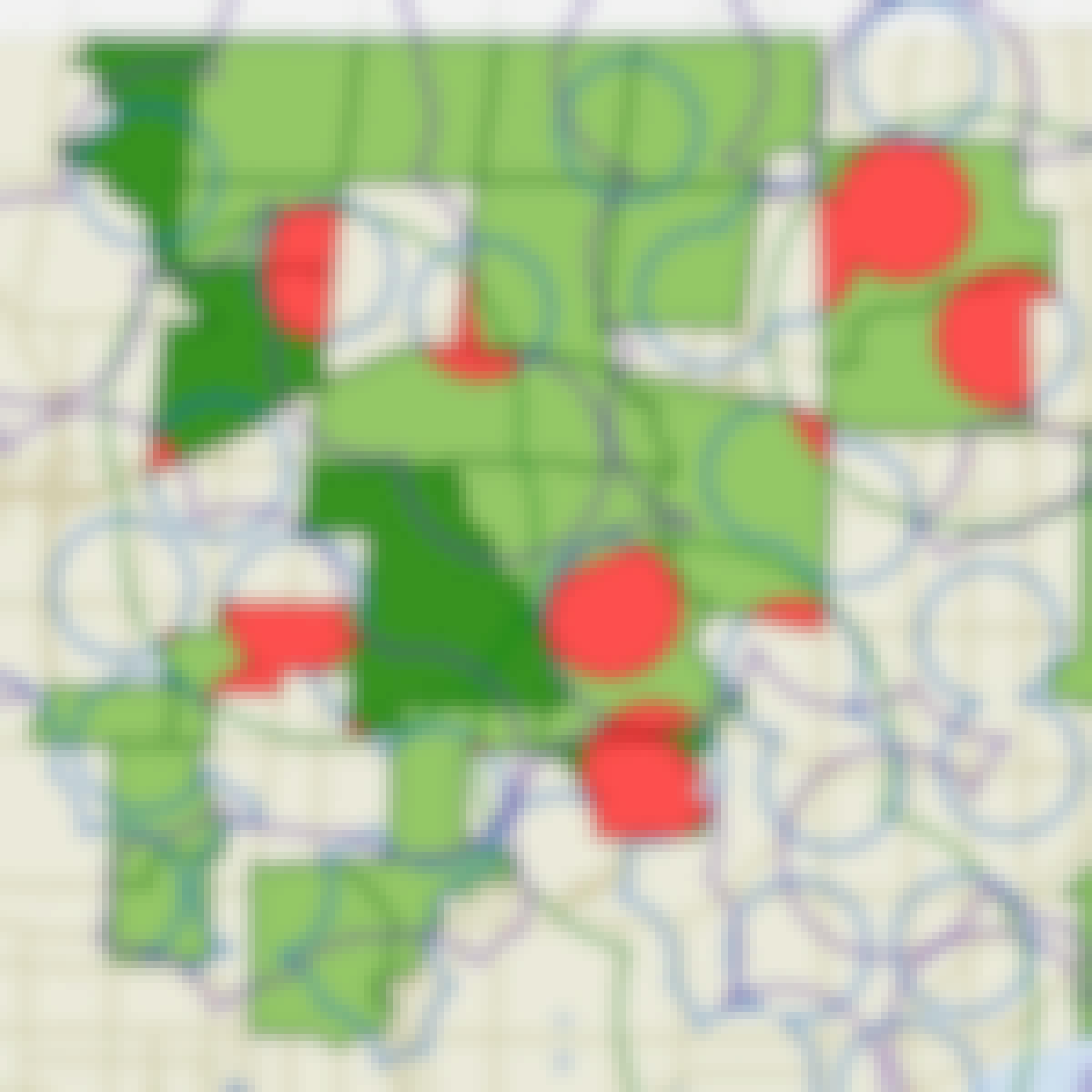
Remote sensing courses can help you learn about satellite imagery analysis, geographic information systems (GIS), and environmental monitoring techniques. You can build skills in data interpretation, spatial analysis, and remote sensing applications in agriculture and urban planning. Many courses introduce tools like ArcGIS and QGIS, along with software for processing satellite data, that support analyzing and visualizing geographic information.
Popular Remote Sensing Courses and Certifications
 Status: Free Trial
Skills you'll gain: Computer Vision, Image Analysis, Model Evaluation, Deep Learning, Matlab, Convolutional Neural Networks, Data Preprocessing, Machine Learning Methods, Machine Learning, Classification Algorithms, Artificial Intelligence and Machine Learning (AI/ML), Transfer Learning, Geospatial Information and Technology, Traffic Flow Optimization, Medical Imaging, Data Validation, Estimation, Algorithms
 Status: Preview
École Polytechnique Fédérale de Lausanne
Skills you'll gain: Geographic Information Systems, Data Modeling, GIS Software, SQL, Database Design, Spatial Data Analysis, Database Management, Query Languages, Relational Databases, Data Capture, Data Manipulation, Data Storage
 Status: NewStatus: Free Trial
Case Western Reserve University
Skills you'll gain: Exploratory Data Analysis, Spatial Data Analysis, Spatial Analysis, Geospatial Mapping, Geospatial Information and Technology, Descriptive Statistics, Statistical Modeling, R Programming, Geographic Information Systems, Statistical Analysis, Probability & Statistics, Data-Driven Decision-Making, Oil and Gas, Data Analysis, Simulations, Statistical Methods, Rmarkdown, Data Cleansing, Box Plots, Plot (Graphics)
 Status: Preview
Duke University
Skills you'll gain: Environmental Monitoring, Environmental Regulations, Environmental Laws, Environment, Environmental Science, Geospatial Information and Technology, Robotics, Ethical Standards And Conduct, Research, Data Analysis Software, Critical Thinking
 Status: Free Trial
MathWorks
Skills you'll gain: Computer Vision, Model Evaluation, Image Analysis, Matlab, Data Preprocessing, Machine Learning, Classification Algorithms, Artificial Intelligence and Machine Learning (AI/ML), Deep Learning, Data Validation
 Status: Free Trial
University of Colorado Boulder
Skills you'll gain: Climate Change Programs, Environment, Environmental Science, Mathematical Modeling, Environmental Monitoring, Physical Science, Hydrology, Simulations
 Status: Preview
École Polytechnique Fédérale de Lausanne
Skills you'll gain: Spatial Analysis, Spatial Data Analysis, GIS Software, Geographic Information Systems, Geospatial Mapping, Geostatistics, Interactive Data Visualization, Data Integration, Data Mapping, Augmented Reality, Sampling (Statistics)
 Status: Free Trial
University of Toronto
Skills you'll gain: ArcGIS, Spatial Data Analysis, Geographic Information Systems, Spatial Analysis, Geospatial Mapping, Data Mapping, Global Positioning Systems, Data Capture
 Status: Free Trial
University of Toronto
Skills you'll gain: Spatial Analysis, Geographic Information Systems, Geospatial Mapping, ArcGIS, Data Visualization, Data Compilation, Data Mapping, Data Storytelling, Metadata Management, Data Integration, Data Management
 Status: Free Trial
University of California, Davis
Skills you'll gain: ArcGIS, GIS Software, Spatial Analysis, Data Storytelling, Spatial Data Analysis, Geographic Information Systems, Data Presentation, Geospatial Information and Technology, Geospatial Mapping, Public Health and Disease Prevention, Public Health, Land Management, Heat Maps, Data Sharing, Epidemiology, Community Health, Metadata Management, Image Analysis, Project Management, Data Visualization Software
 Status: NewStatus: Free Trial
Skills you'll gain: Photo Editing, Photography, Adobe Creative Cloud, Creativity
 Status: Free Trial
Arizona State University
Skills you'll gain: Semiconductors, Analytical Testing, Laboratory Equipment, Materials science, Laboratory Testing, Analytical Chemistry, Laboratory Techniques
In summary, here are 10 of our most popular remote sensing courses
- Computer Vision for Engineering and Science: MathWorks
- Systèmes d’Information Géographique - Partie 1: École Polytechnique Fédérale de Lausanne
- Practical Geospatial Geostatistical Modeling: Case Western Reserve University
- Drones for Environmental Science: Duke University
- Machine Learning for Computer Vision: MathWorks
- Polar Peril: University of Colorado Boulder
- Geographical Information Systems - Part 2: École Polytechnique Fédérale de Lausanne
- Introduction to GIS Mapping: University of Toronto
- GIS, Mapping, and Spatial Analysis Capstone: University of Toronto
- Geographic Information Systems (GIS): University of California, Davis


